
| Back | Photos | Library | Search | Home | Help |
Gallipoli Then and Now
This is a contributed item. Please direct your feedback concerning the contents of this item to the author using the e-mail link below. By all means let them know if you find it interesting. They enjoy hearing from you! |
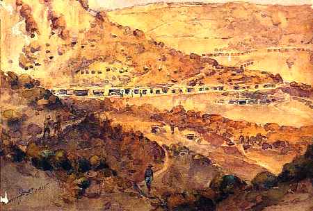 |
| Anzac by H. Moore Jones |
Contributed by mailto:snelders@glo.be and Marc
Colaes Click on the link below to visit Jul's Gallipoli web site for even more
information on this topic: Click on the link below for The Turkey Traveller Tourist
Info:
http://user.glo.be/~snelders/
http://www.turkeytraveller.org/
|
The Camera Returns
If ghosts walk, they walk in Monash Valley and Gully Ravine, and guard eternally the rocky escarpment of the Gallipoli Peninsula.Robert Rhodes James
Often for months at a time, nothing of any consequence happens, lizards scuttle about the tombstones in the sunshine and time goes by in an endless dream.Alan Moorehead
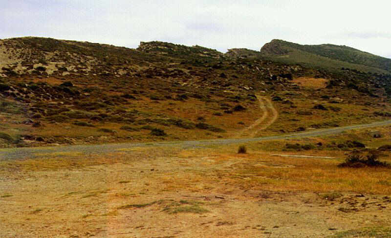
Gallipoli is probably one of the few Great War battlefields that has remained virtually unchanged over a period of more than 80 years. Many of the original trenches are still there and all the important landmarks can be easily identified - as if time had stood still. What follows is just a sample of the many pictures we took during our visits to the peninsula. For those interested in the 1915 campaign, we thought we might as well put the historical photographs and the new ones side by side.
Jul Snelders |
|
Just click on thumbnail for expanded image.
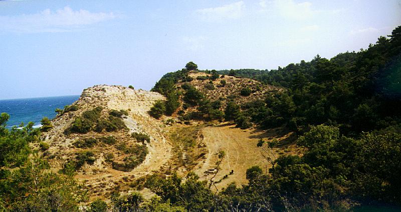
This view is from a firing trench on Plugge's Plateau. Shortly
after the landing, Australian troops ran over the Razor Edge only 15
inches wide - from Plugge's to Russel's Top. At left, a steep slope
descends into Reserve Gully and at right into Rest gully, a branch
of Monash Valley. Both were among the few places that offered some
protection from Turkish fire.
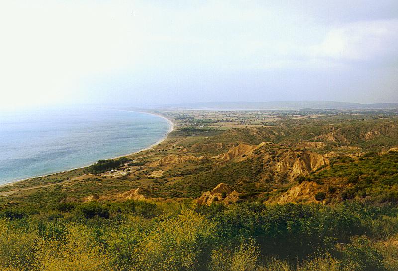
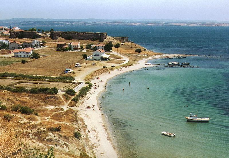
As seen from Walker's Ridge looking north. In the foreground are
the Outposts - firing positions that were not connected to the main
line. The building under the trees is where today new headstones for
the cemeteries are made for the War Graves Commission. In the far
distance is Suvla, with Nebrunesi Point at the end of the bay and
the salt lake in the middle.
Looking south from the original intended landing place for the
Australian Force to the strongly defended headland south of ANZAC
Cove. During the Campaign an unsuccessful raid was organized to
capture it. In the banks near the beach there is still evidence of
holes dug by the attackers to protect themselves from machine
gunfire.
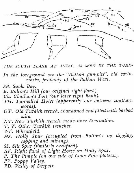
There are no original photographs of some portions of the ANZAC
line. The drawing looking north at ANZAC from the Turkish lines was
made by C.E.W. Bean in 1919 and published in his 'Gallipoli
Mission'.
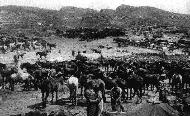
This entrance is to one of the main approaches to the front.
Notice the concrete well drilled by the Royal Engineers during the
campaign and still operational today. In the original photograph,
horses are being watered.
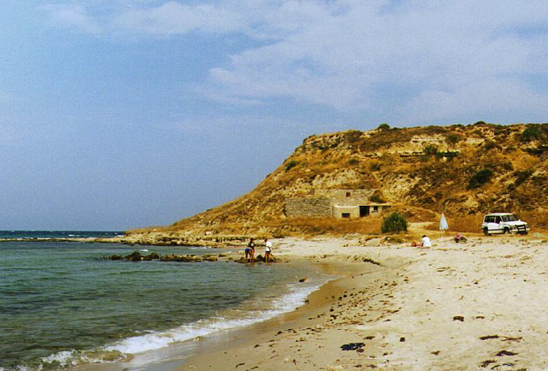
From the cliffs near Fort #1, looking at the Old Sedd el Bahr
Fort. In the new picture, both the place where the River
Clyde was grounded on the beach, and the low bank under which
the survivors of the landing hid for the rest of the day can be
clearly seen. The cemetery contains the graves of the Dublins and
the Munsters.
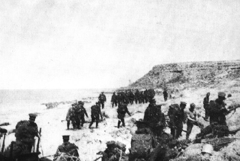
Looking west within the old picture - troops shortly after the
capture of the beach, which was to become known as Lancashire
Landing.
Looking east later in the campaign. In the new picture the
remains of one of the piers.
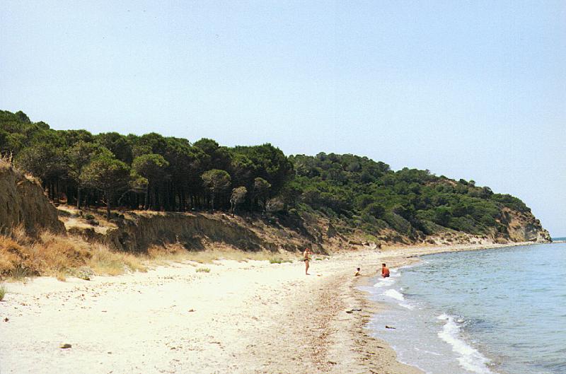
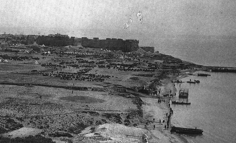
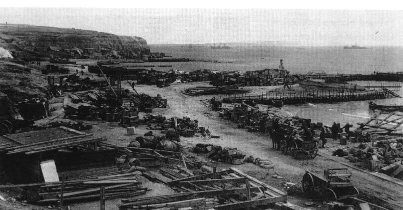
Soon after the August landings by the British, the shore around
Suvla bay became one big army dump used to supply the troops further
inland.
Use
your browser's back button to return here.
Please stand by while
thumbnail images load...
71.15 Kb
800 x 527
85.77 Kb
796 x 600
82.08 Kb
800 x 427
81.22 Kb
800 x 546
![]()
64.38 Kb
800 x 404
67.11 Kb
800 x 529
63.74 Kb
464 x 600
70.91 Kb
800 x 477
![]()
77.75 Kb
800 x 353
73.23 Kb
800 x 422
133.66 Kb
800 x 485
95.86 Kb
800 x 551
74.95 Kb
800 x 539
71.42 Kb
800 x 541
78.74 Kb
805 x 419
![]()
56.13 Kb
828 x 364
76.63 Kb
800 x 487
53.81 Kb
800 x 487
| Back | Photos | Library | Search | Home | Help |